
Gemeinde Sankt Anton am Arlberg topographic map
Interactive map
Click on the map to display elevation.
About this map
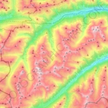
Name: Gemeinde Sankt Anton am Arlberg topographic map, elevation, terrain.
Average elevation: 2,134 m
Minimum elevation: 1,151 m
Maximum elevation: 3,131 m