
Birdie topographic map
Interactive map
Click on the map to display elevation.
About this map
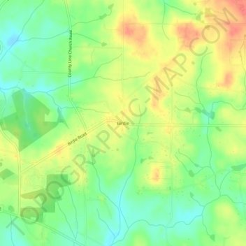
Name: Birdie topographic map, elevation, terrain.
Location: Birdie, Spalding County, Georgia, United States of America (33.29984 -84.36437 33.33984 -84.32437)
Average elevation: 256 m
Minimum elevation: 231 m
Maximum elevation: 283 m