
Goomalling topographic map
Interactive map
Click on the map to display elevation.
About this map
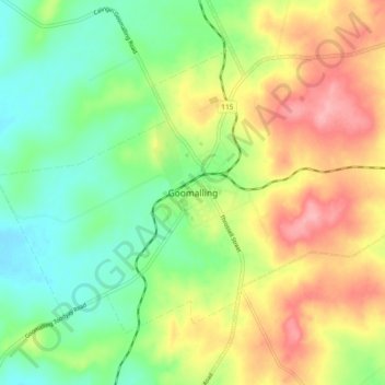
Name: Goomalling topographic map, elevation, terrain.
Location: Goomalling, Western Australia, 6460, Australia (-31.33970 116.78852 -31.25970 116.86852)
Average elevation: 256 m
Minimum elevation: 207 m
Maximum elevation: 321 m
Western Australia trails, hiking, mountain biking, running and outdoor activities
Other topographic maps
Click on a map to view its topography, its elevation and its terrain.