`Amman topographic map
Interactive map
Click on the map to display elevation.
About this map
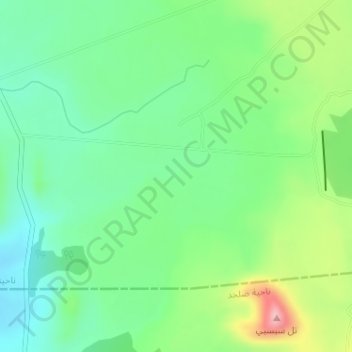
Name: `Amman topographic map, elevation, terrain.
Average elevation: 1,362 m
Minimum elevation: 1,309 m
Maximum elevation: 1,471 m

Click on the map to display elevation.
Name: `Amman topographic map, elevation, terrain.
Average elevation: 1,362 m
Minimum elevation: 1,309 m
Maximum elevation: 1,471 m