
Ashmore topographic map
Interactive map
Click on the map to display elevation.
About this map
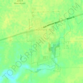
Name: Ashmore topographic map, elevation, terrain.
Location: Ashmore, Coles County, Illinois, United States (39.51938 -88.02852 39.53906 -88.01088)
Average elevation: 211 m
Minimum elevation: 200 m
Maximum elevation: 215 m