
Leslie topographic map
Interactive map
Click on the map to display elevation.
About this map
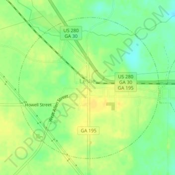
Name: Leslie topographic map, elevation, terrain.
Location: Leslie, Sumter County, Georgia, United States of America (31.94366 -84.09923 31.96524 -84.07381)
Average elevation: 102 m
Minimum elevation: 88 m
Maximum elevation: 112 m