
Scioto County topographic map
Interactive map
Click on the map to display elevation.
About this map
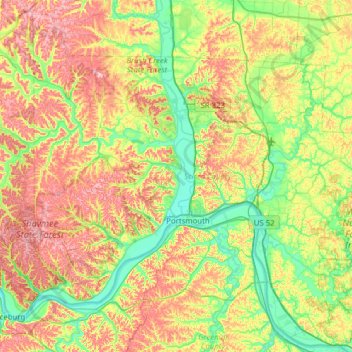
Name: Scioto County topographic map, elevation, terrain.
Location: Scioto County, Ohio, United States of America (38.57077 -83.27094 39.01605 -82.64996)
Average elevation: 245 m
Minimum elevation: 148 m
Maximum elevation: 397 m
Other topographic maps
Click on a map to view its topography, its elevation and its terrain.
Summerland Beach
United States of America > Ohio > Millersport > Summerland Beach
Average elevation: 279 m