
Nutfield topographic map
Interactive map
Click on the map to display elevation.
About this map
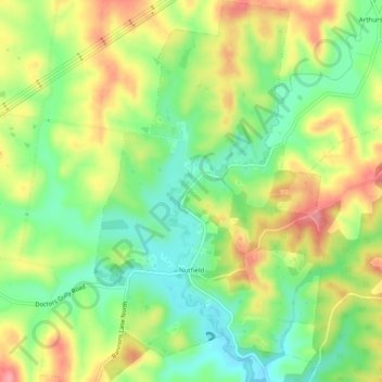
Name: Nutfield topographic map, elevation, terrain.
Location: Nutfield, Shire of Nillumbik, Victoria, Australia (-37.62045 145.17048 -37.58173 145.19982)
Average elevation: 128 m
Minimum elevation: 80 m
Maximum elevation: 187 m