
Cromwell topographic map
Interactive map
Click on the map to display elevation.
About this map
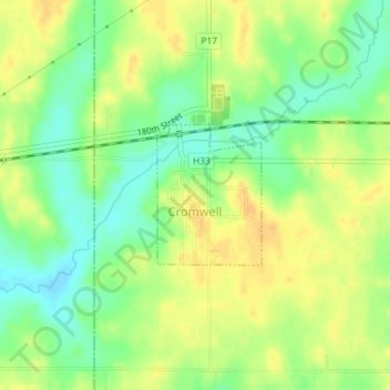
Name: Cromwell topographic map, elevation, terrain.
Location: Cromwell, Union County, Iowa, 50842, United States (41.03614 -94.46648 41.04588 -94.45687)
Average elevation: 387 m
Minimum elevation: 371 m
Maximum elevation: 399 m