
Hoffman topographic map
Interactive map
Click on the map to display elevation.
About this map
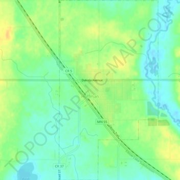
Name: Hoffman topographic map, elevation, terrain.
Location: Hoffman, Grant County, Minnesota, United States (45.81415 -95.80015 45.84693 -95.77415)
Average elevation: 378 m
Minimum elevation: 366 m
Maximum elevation: 392 m