
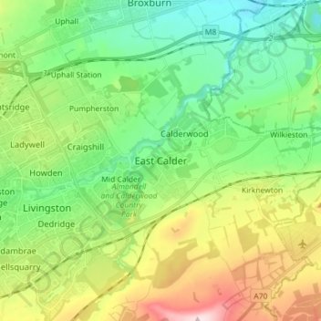
East Calder topographic map
Interactive map
Click on the map to display elevation.
About this map
Name: East Calder topographic map, elevation, terrain.
Location: East Calder, West Lothian, Scotland, EH53 0EL, United Kingdom (55.85495 -3.50429 55.93495 -3.42429)
Average elevation: 140 m
Minimum elevation: 38 m
Maximum elevation: 346 m