
Tianhe District topographic map
Interactive map
Click on the map to display elevation.
About this map
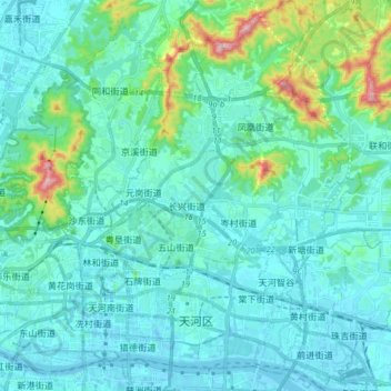
Name: Tianhe District topographic map, elevation, terrain.
Location: Tianhe District, Guangzhou City, Guangdong Province, China (23.10039 113.29410 23.24847 113.44238)
Average elevation: 53 m
Minimum elevation: -12 m
Maximum elevation: 367 m