
Moorland topographic map
Interactive map
Click on the map to display elevation.
About this map
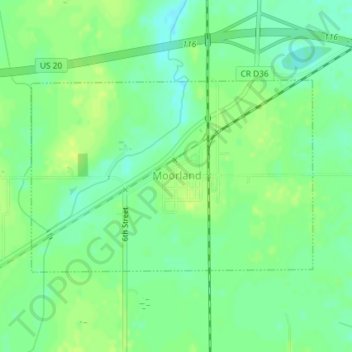
Name: Moorland topographic map, elevation, terrain.
Location: Moorland, Webster County, Iowa, United States (42.43421 -94.31011 42.44893 -94.28084)
Average elevation: 347 m
Minimum elevation: 338 m
Maximum elevation: 354 m
Other topographic maps
Click on a map to view its topography, its elevation and its terrain.
Gowrie
United States > Iowa > Webster County
Gowrie, Webster County, Iowa, United States
Average elevation: 347 m