
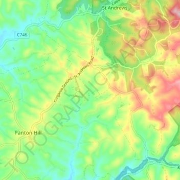
Smiths Gully topographic map
Interactive map
Click on the map to display elevation.
About this map
Name: Smiths Gully topographic map, elevation, terrain.
Location: Smiths Gully, Shire of Nillumbik, Victoria, Australia (-37.65067 145.25408 -37.60576 145.32419)
Average elevation: 173 m
Minimum elevation: 96 m
Maximum elevation: 297 m