
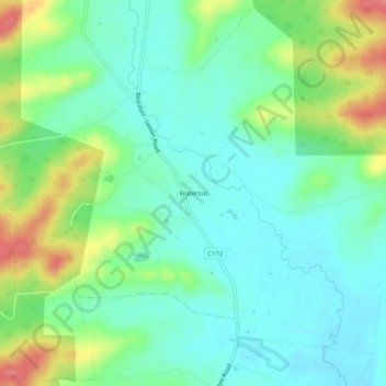
Waterloo topographic map
Interactive map
Click on the map to display elevation.
About this map
Name: Waterloo topographic map, elevation, terrain.
Location: Waterloo, Shire of Pyrenees, Victoria, Australia (-37.39886 143.40436 -37.35886 143.44436)
Average elevation: 402 m
Minimum elevation: 375 m
Maximum elevation: 461 m
Victoria trails, hiking, mountain biking, running and outdoor activities