
Salen topographic map
Interactive map
Click on the map to display elevation.
About this map
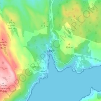
Name: Salen topographic map, elevation, terrain.
Location: Salen, Highland, Scotland, PH36 4JN, United Kingdom (56.69652 -5.79663 56.73652 -5.75663)
Average elevation: 83 m
Minimum elevation: 0 m
Maximum elevation: 290 m