
Golden Grove topographic map
Interactive map
Click on the map to display elevation.
About this map
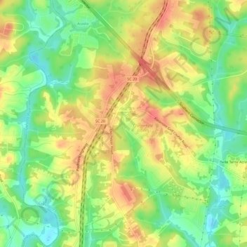
Name: Golden Grove topographic map, elevation, terrain.
Average elevation: 257 m
Minimum elevation: 228 m
Maximum elevation: 284 m
Other topographic maps
Click on a map to view its topography, its elevation and its terrain.
Morningside
United States > South Carolina > Greenville County > Wade Hampton
Average elevation: 300 m
Crescentwood Village
United States > South Carolina > Greenville County > Mauldin
Average elevation: 276 m
Piney Ridge
United States > South Carolina > Greenville County > Wade Hampton
Average elevation: 304 m
Orchard Acres
United States > South Carolina > Greenville County > Wade Hampton
Average elevation: 292 m
Isaqueena Park
United States > South Carolina > Greenville County > Greenville
Average elevation: 297 m
Glenwood Acres
United States > South Carolina > Greenville County > Greenville
Average elevation: 305 m
Marietta
United States > South Carolina > Greenville County > Slater-Marietta
Average elevation: 317 m