
Laurel topographic map
Interactive map
Click on the map to display elevation.
About this map
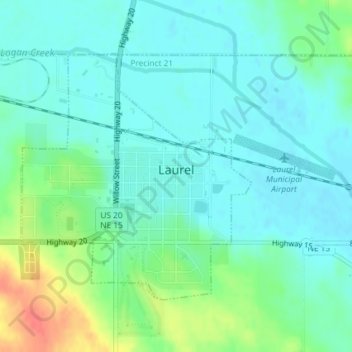
Name: Laurel topographic map, elevation, terrain.
Location: Laurel, Cedar County, Nebraska, United States of America (42.41947 -97.10585 42.43838 -97.08191)
Average elevation: 457 m
Minimum elevation: 444 m
Maximum elevation: 494 m