
Clarence topographic map
Interactive map
Click on the map to display elevation.
About this map
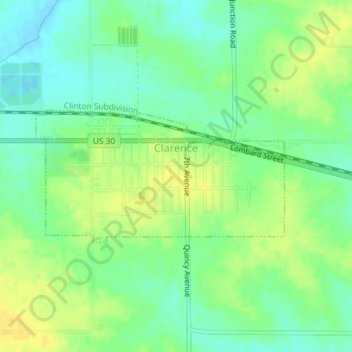
Name: Clarence topographic map, elevation, terrain.
Location: Clarence, Cedar County, Iowa, United States (41.88092 -91.07031 41.89108 -91.04465)
Average elevation: 253 m
Minimum elevation: 241 m
Maximum elevation: 267 m