
Balinga topographic map
Interactive map
Click on the map to display elevation.
About this map
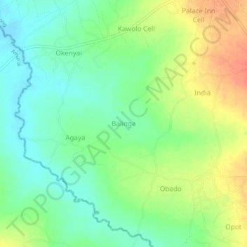
Name: Balinga topographic map, elevation, terrain.
Location: Balinga, Amuria, Eastern Region, Uganda (2.15278 33.56278 2.19278 33.60278)
Average elevation: 1,072 m
Minimum elevation: 1,051 m
Maximum elevation: 1,102 m