
South Mole Lighthouse topographic map
Interactive map
Click on the map to display elevation.
About this map
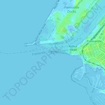
Name: South Mole Lighthouse topographic map, elevation, terrain.
Average elevation: 1 m
Minimum elevation: -10 m
Maximum elevation: 12 m
Other topographic maps
Click on a map to view its topography, its elevation and its terrain.
City of Fremantle
Australia > Western Australia > Fremantle
City of Fremantle, Silas Street, East Fremantle, Fremantle, Western Australia, 6158, Australia
Average elevation: 26 m