
Jacinta topographic map
Interactive map
Click on the map to display elevation.
About this map
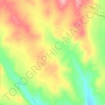
Name: Jacinta topographic map, elevation, terrain.
Location: Jacinta, Almoguera, Guadalajara, Castile-La Mancha, Spain (40.30597 -2.99116 40.32597 -2.97116)
Average elevation: 734 m
Minimum elevation: 652 m
Maximum elevation: 802 m