
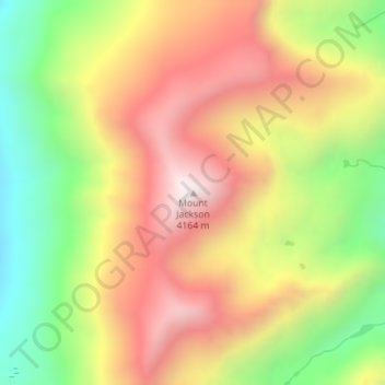
Mount Jackson topographic map
Interactive map
Click on the map to display elevation.
About this map
Name: Mount Jackson topographic map, elevation, terrain.
Location: Mount Jackson, Eagle County, Colorado, United States (39.48521 -106.53675 39.48531 -106.53665)
Average elevation: 3,724 m
Minimum elevation: 3,250 m
Maximum elevation: 4,163 m