
Truckee topographic map
Interactive map
Click on the map to display elevation.
About this map
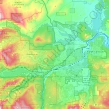
Name: Truckee topographic map, elevation, terrain.
Average elevation: 1,918 m
Minimum elevation: 1,662 m
Maximum elevation: 2,454 m
Other topographic maps
Click on a map to view its topography, its elevation and its terrain.
Grass Valley
United States > California > Nevada County
Grass Valley, Nevada County, California, United States
Average elevation: 775 m