
Red River County topographic map
Interactive map
Click on the map to display elevation.
About this map
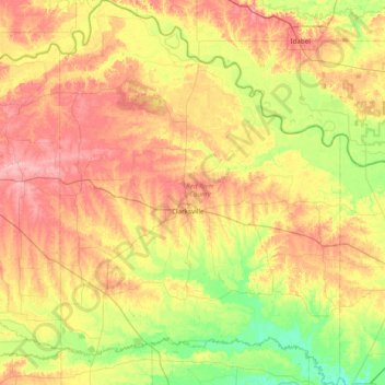
Name: Red River County topographic map, elevation, terrain.
Location: Red River County, Texas, United States (33.31751 -95.31114 33.96323 -94.74605)
Average elevation: 122 m
Minimum elevation: 74 m
Maximum elevation: 179 m