
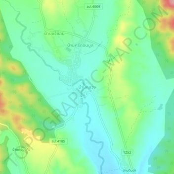
Ban Luang topographic map
Interactive map
Click on the map to display elevation.
About this map
Name: Ban Luang topographic map, elevation, terrain.
Location: Ban Luang, Lampang Province, Thailand (18.78970 99.48703 18.82970 99.52703)
Average elevation: 383 m
Minimum elevation: 340 m
Maximum elevation: 485 m