
Gregory Hill topographic map
Interactive map
Click on the map to display elevation.
About this map
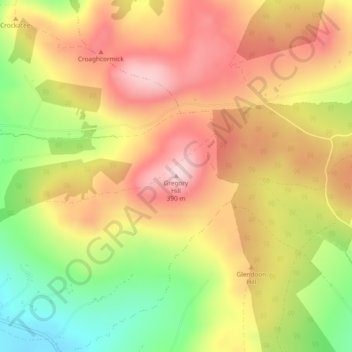
Name: Gregory Hill topographic map, elevation, terrain.
Location: Gregory Hill, Letterkenny, County Donegal, Ireland (54.95895 -7.81976 54.95905 -7.81966)
Average elevation: 216 m
Minimum elevation: 71 m
Maximum elevation: 330 m