
Bonita Springs topographic map
Interactive map
Click on the map to display elevation.
About this map
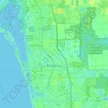
Name: Bonita Springs topographic map, elevation, terrain.
Location: Bonita Springs, Lee County, Florida, United States (26.31623 -81.88770 26.40779 -81.65802)
Average elevation: 4 m
Minimum elevation: -1 m
Maximum elevation: 18 m
Other topographic maps
Click on a map to view its topography, its elevation and its terrain.