
Hume topographic map
Interactive map
Click on the map to display elevation.
About this map
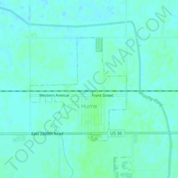
Name: Hume topographic map, elevation, terrain.
Location: Hume, Edgar County, Illinois, 61932, United States (39.79143 -87.88029 39.80711 -87.86122)
Average elevation: 199 m
Minimum elevation: 196 m
Maximum elevation: 203 m
Other topographic maps
Click on a map to view its topography, its elevation and its terrain.
Scottland
United States > Illinois > Edgar County > Scottland
Scottland, Edgar County, Illinois, 61924, United States
Average elevation: 192 m