
Clifden Caves (1st exit) topographic map
Interactive map
Click on the map to display elevation.
About this map
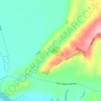
Name: Clifden Caves (1st exit) topographic map, elevation, terrain.
Average elevation: 107 m
Minimum elevation: 41 m
Maximum elevation: 248 m