
Sangandaan topographic map
Interactive map
Click on the map to display elevation.
About this map
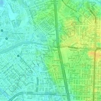
Name: Sangandaan topographic map, elevation, terrain.
Location: Sangandaan, District 2, Metro Manila, 1408, Philippines (14.65105 120.96746 14.66214 120.97497)
Average elevation: 12 m
Minimum elevation: -3 m
Maximum elevation: 27 m