
Bigga topographic map
Interactive map
Click on the map to display elevation.
About this map
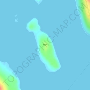
Name: Bigga topographic map, elevation, terrain.
Location: Bigga, Ulsta, Shetland, Scotland, United Kingdom (60.48589 -1.20205 60.50217 -1.18082)
Average elevation: 3 m
Minimum elevation: -1 m
Maximum elevation: 60 m