
Bigga topographic map
Interactive map
Click on the map to display elevation.
About this map
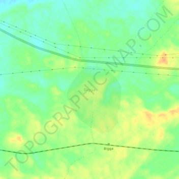
Name: Bigga topographic map, elevation, terrain.
Location: Bigga, Sri Dungargarh Tehsil, Bikaner, Rajasthan, India (28.04340 74.12116 28.08340 74.16116)
Average elevation: 292 m
Minimum elevation: 275 m
Maximum elevation: 312 m