
Ban Tho topographic map
Interactive map
Click on the map to display elevation.
About this map
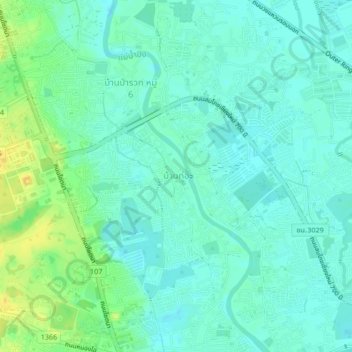
Name: Ban Tho topographic map, elevation, terrain.
Location: Ban Tho, Chiang Mai, 503000, Thailand (18.81770 98.96869 18.85770 99.00869)
Average elevation: 313 m
Minimum elevation: 305 m
Maximum elevation: 331 m