
Panama City Beach topographic map
Interactive map
Click on the map to display elevation.
About this map
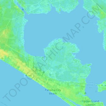
Name: Panama City Beach topographic map, elevation, terrain.
Location: Panama City Beach, Bay County, Florida, United States (30.16509 -85.95800 30.29679 -85.78590)
Average elevation: 2 m
Minimum elevation: -2 m
Maximum elevation: 17 m
Other topographic maps
Click on a map to view its topography, its elevation and its terrain.
Panama City
United States > Florida > Bay County
Panama City, Bay County, Florida, United States
Average elevation: 6 m
Bay County
United States > Florida > Bay County
Bay County, Florida, United States
Average elevation: 13 m