
Tower Hill Wildlife Reserve (hunting) topographic map
Interactive map
Click on the map to display elevation.
About this map
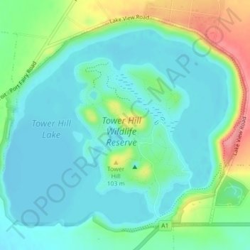
Name: Tower Hill Wildlife Reserve (hunting) topographic map, elevation, terrain.
Average elevation: 33 m
Minimum elevation: 8 m
Maximum elevation: 104 m
Other topographic maps
Click on a map to view its topography, its elevation and its terrain.
Tower Hill Lake
Tower Hill Lake, Lake's Edge Path, Illowa, Koroit, Shire of Moyne, Barwon South West, Victoria, 3282, Australia
Average elevation: 31 m