
Banggi Island topographic map
Interactive map
Click on the map to display elevation.
About this map
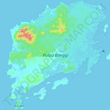
Name: Banggi Island topographic map, elevation, terrain.
Location: Banggi Island, Kudat, Sabah, Malaysia (7.10029 117.05380 7.36282 117.29498)
Average elevation: 21 m
Minimum elevation: 0 m
Maximum elevation: 487 m