
Gebel el Uwaynat topographic map
Interactive map
Click on the map to display elevation.
About this map
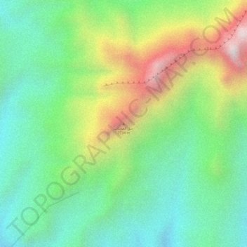
Name: Gebel el Uwaynat topographic map, elevation, terrain.
Location: Gebel el Uwaynat, Kufra, Libya (21.90362 24.97605 21.90372 24.97615)
Average elevation: 1,293 m
Minimum elevation: 988 m
Maximum elevation: 1,793 m