
Alphubel topographic map
Interactive map
Click on the map to display elevation.
About this map
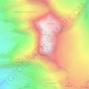
Name: Alphubel topographic map, elevation, terrain.
Location: Alphubel, Täsch, Visp, Valais/Wallis, 3929, Switzerland (46.06283 7.86380 46.06293 7.86390)
Average elevation: 3,614 m
Minimum elevation: 2,975 m
Maximum elevation: 4,194 m