
Parque Natural Baixa Limia - Serra do Xurés topographic map
Interactive map
Click on the map to display elevation.
About this map
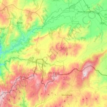
Name: Parque Natural Baixa Limia - Serra do Xurés topographic map, elevation, terrain.
Average elevation: 891 m
Minimum elevation: 432 m
Maximum elevation: 1,523 m