
Great Exuma Island topographic map
Interactive map
Click on the map to display elevation.
About this map
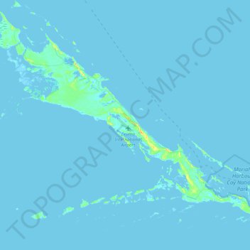
Name: Great Exuma Island topographic map, elevation, terrain.
Location: Great Exuma Island, Exuma, The Bahamas (23.43883 -76.03359 23.69234 -75.65948)
Average elevation: 1 m
Minimum elevation: -1 m
Maximum elevation: 32 m
Other topographic maps
Click on a map to view its topography, its elevation and its terrain.