
Herbert River topographic map
Interactive map
Click on the map to display elevation.
About this map
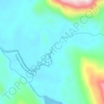
Name: Herbert River topographic map, elevation, terrain.
Location: Herbert River, Juneau, Alaska, USA (58.51918 -134.76296 58.53271 -134.69273)
Average elevation: 117 m
Minimum elevation: 5 m
Maximum elevation: 690 m