
Åsunden topographic map
Interactive map
Click on the map to display elevation.
About this map
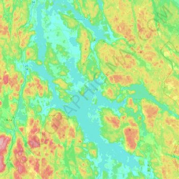
Name: Åsunden topographic map, elevation, terrain.
Average elevation: 135 m
Minimum elevation: 81 m
Maximum elevation: 262 m
Other topographic maps
Click on a map to view its topography, its elevation and its terrain.
Norrköping
Sweden > Östergötland County > Norrköping
Norrköping, Province Östergötland, Östergötland County, Region Götaland, 602 26, Sweden
Average elevation: 22 m