
Gent topographic map
Interactive map
Click on the map to display elevation.
About this map
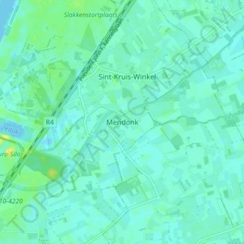
Name: Gent topographic map, elevation, terrain.
Location: Gent, Mendonk, Gent, Oost-Vlaanderen, Vlaanderen, 9042, België (51.12673 3.80214 51.16673 3.84214)
Average elevation: 5 m
Minimum elevation: -2 m
Maximum elevation: 21 m