
Thorah Island topographic map
Interactive map
Click on the map to display elevation.
About this map
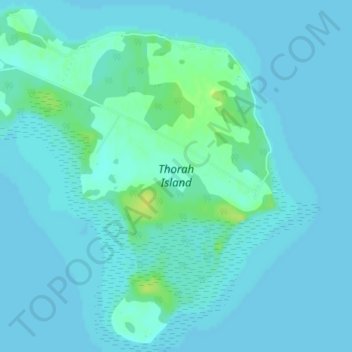
Name: Thorah Island topographic map, elevation, terrain.
Location: Thorah Island, Brock, Durham Region, Ontario, Canada (44.43082 -79.25211 44.45800 -79.21211)
Average elevation: 219 m
Minimum elevation: 216 m
Maximum elevation: 232 m