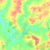
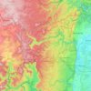
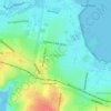
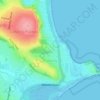
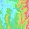
Gaanha-bula–Mount Canobolas topographic map
Click on the map to display elevation.
Gaanha-bula–Mount Canobolas
With an elevation of 1,390 metres (4,560 ft) above sea level, Mount Canobolas, an extinct volcano, is the highest mountain in the region. Situated 13 kilometres (8.1 mi) southwest of the city of Orange, it is about 250 kilometres (155 mi) west of Sydney.
About this map
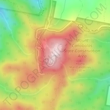
Name: Gaanha-bula–Mount Canobolas topographic map, elevation, terrain.
Location: Gaanha-bula–Mount Canobolas, New South Wales, Australia (-33.34435 148.98216 -33.34425 148.98226)
Average elevation: 1,186 m
Minimum elevation: 969 m
Maximum elevation: 1,392 m
New South Wales trails, hiking, mountain biking, running and outdoor activities
Other topographic maps
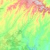
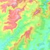
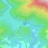
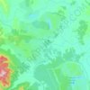
Click on a map to view its topography, its elevation and its terrain.
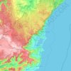
Sydney
Sydney's topography is characterized by a diverse landscape that seamlessly blends coastal features with inland plateaus. The city is divided into two primary regions: the relatively flat Cumberland Plain to the south and west of Sydney Harbour, and the elevated Hornsby Plateau to the north. The Cumberland…
Average elevation: 53 m








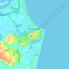
Byron Bay
Byron Bay, located in northeastern New South Wales, Australia, is characterized by diverse topography shaped by its geological history. The town is part of the erosion caldera of the ancient Tweed Volcano, which erupted approximately 23 million years ago, resulting in the rich volcanic soils that define the…
Average elevation: 7 m




















Blue Mountains
A sandstone plateau dominated by a landscape of endless eucalyptus forests, the Blue Mountains are located at the top of a 470-million-year-old quartzite. In the Permian period, a shallow sea covered the region, when rivers brought shales, siltstones and mudstones. Then during the Mesozoic period, rivers…
Average elevation: 566 m