
Mei River topographic map
Interactive map
Click on the map to display elevation.
About this map
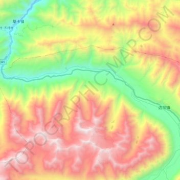
Name: Mei River topographic map, elevation, terrain.
Location: Mei River, Banbar, Banbar County, Chamdo City, Tibet, PRC (30.79667 94.66370 30.89506 94.86709)
Average elevation: 4,713 m
Minimum elevation: 3,650 m
Maximum elevation: 5,868 m