
Sipura topographic map
Interactive map
Click on the map to display elevation.
About this map
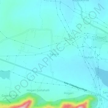
Name: Sipura topographic map, elevation, terrain.
Location: Sipura, Kolar taluk, Kolar District, Karnataka, 563101, India (13.15171 78.07707 13.19171 78.11707)
Average elevation: 858 m
Minimum elevation: 829 m
Maximum elevation: 1,060 m
Other topographic maps
Click on a map to view its topography, its elevation and its terrain.
Kolar
India > Karnataka > Kolar taluk
Kolar, Kolar taluk, Kolar district, Karnataka, 563101, India
Average elevation: 847 m