
Pursat topographic map
Interactive map
Click on the map to display elevation.
About this map
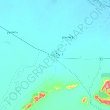
Name: Pursat topographic map, elevation, terrain.
Location: Pursat, 01254, Cambodia (12.37775 103.75782 12.69775 104.07782)
Average elevation: 29 m
Minimum elevation: 7 m
Maximum elevation: 383 m
Other topographic maps
Click on a map to view its topography, its elevation and its terrain.