
Perticara topographic map
Interactive map
Click on the map to display elevation.
About this map
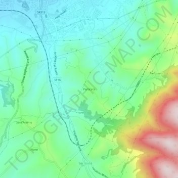
Name: Perticara topographic map, elevation, terrain.
Location: Perticara, TR, Umbrien, 05039, Italien (42.51062 12.63612 42.55062 12.67612)
Average elevation: 293 m
Minimum elevation: 124 m
Maximum elevation: 713 m